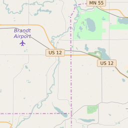
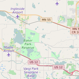
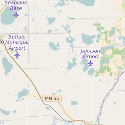
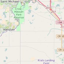

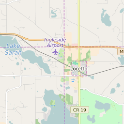

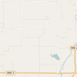
Independence Minnesota Profile
| Place Name | Independence |
| Place Type | City |
| ZIP Code(s) | 55328 55357 55359 55364 55373 |
| County | Hennepin County |
| Area Code(s) | 763,952 |
| Timezone | Central Daylight Time (CDT) |
| Population (2022) | 3,520 |
| Population Growth Rate (2010-19) | 7.16% |
| Majority Ethnicity | White 96.27% |
| Metro/Micro Stats Area | Minneapolis-St. Paul-Bloomington, MN-WI |
| US Congressional District(s) | Minnesota 3rd |
| State House Districts | 33A |
| State Senate Districts | 33 |
Independence Race/Ethnicity Data
| Race/Ethnicy | Percentage of Population (2021) |
|---|---|
| White | 96.27% |
| African American | 2.29% |
| Hispanic | 0% |
| Asian | 0.33% |
| Native American | 0% |
| Hawaiin/Pacific Islander | 1.12% |