


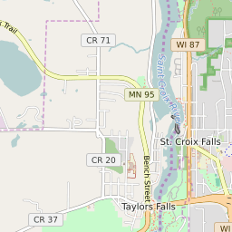
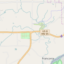
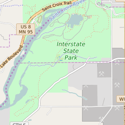


Taylors Falls Minnesota Profile
| Place Name | Taylors Falls |
| Place Type | City |
| ZIP Code(s) | 55084 |
| County | Chisago County |
| Area Code(s) | 651 |
| Timezone | Central Standard Time (CST) |
| Population (2022) | 1,008 |
| Population Growth Rate (2010-19) | 8.09% |
| Majority Ethnicity | White 95.43% |
| Metro/Micro Stats Area | Minneapolis-St. Paul-Bloomington, MN-WI |
| US Congressional District(s) | Minnesota 8th |
| State House Districts | 32B |
| State Senate Districts | 32 |
Taylors Falls Race/Ethnicity Data
| Race/Ethnicy | Percentage of Population (2021) |
|---|---|
| White | 95.43% |
| African American | 0.69% |
| Hispanic | 0.78% |
| Asian | 0% |
| Native American | 0% |
| Hawaiin/Pacific Islander | 3.1% |