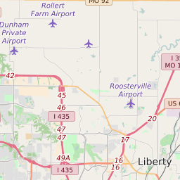
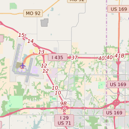


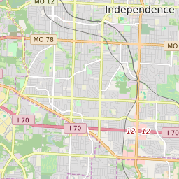


Independence Missouri Profile
| Place Name | Independence |
| Place Type | City |
| County | Jackson County Clay County |
| Area Code(s) | 816,975 |
| Timezone | Central Daylight Time (CDT) |
| Population (2022) | 116,513 |
| Population Growth Rate (2010-19) | 5.29% |
| Majority Ethnicity | White 77.96% |
| Metro/Micro Stats Area | Kansas City, MO-KS |
| US Congressional District(s) | Missouri 5th Missouri 6th |
| State House Districts | 17,19,20,21,22,29,30 |
| State Senate Districts | 8,11,17 |
Independence Race/Ethnicity Data
| Race/Ethnicy | Percentage of Population (2021) |
|---|---|
| White | 77.96% |
| African American | 9.66% |
| Hispanic | 0.47% |
| Asian | 1.08% |
| Native American | 1.26% |
| Hawaiin/Pacific Islander | 9.56% |