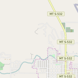
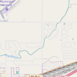
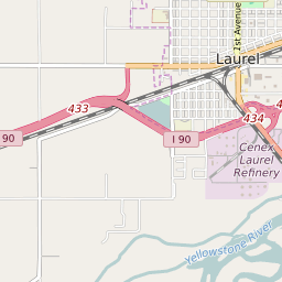
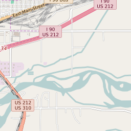


Laurel Montana Profile
| Place Name | Laurel |
| Place Type | City |
| ZIP Code(s) | 59044 |
| County | Yellowstone County |
| Area Code(s) | 406 |
| Timezone | Mountain Standard Time (MST) |
| Population (2022) | 6,763 |
| Population Growth Rate (2010-19) | 7.50% |
| Majority Ethnicity | White 94.17% |
| Metro/Micro Stats Area | Billings, MT |
| US Congressional District(s) | Montana At-Large |
| State House Districts | 55 |
| State Senate Districts | 28 |
Laurel Race/Ethnicity Data
| Race/Ethnicy | Percentage of Population (2021) |
|---|---|
| White | 94.17% |
| African American | 0.32% |
| Hispanic | 0.48% |
| Asian | 1.71% |
| Native American | 0% |
| Hawaiin/Pacific Islander | 3.32% |