
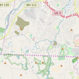

Nashua New Hampshire Profile
| Place Name | Nashua |
| Place Type | City |
| ZIP Code(s) | 03060 03062 03063 03064 |
| County | Hillsborough County |
| Area Code(s) | 603 |
| Timezone | Eastern Standard Time (EST) |
| Population (2022) | 86,823 |
| Population Growth Rate (2010-19) | 5.58% |
| Majority Ethnicity | White 76.08% |
| Metro/Micro Stats Area | Manchester-Nashua, NH |
| US Congressional District(s) | New Hampshire 2nd |
| State House Districts | Hillsborough 28,Hillsborough 29,Hillsborough 30,Hillsborough 31,Hillsborough 32,Hillsborough 33,Hillsborough 34,Hillsborough 35,Hillsborough 36 |
| State Senate Districts | 12,13 |
Nashua Race/Ethnicity Data
| Race/Ethnicy | Percentage of Population (2021) |
|---|---|
| White | 76.08% |
| African American | 3.43% |
| Hispanic | 0.17% |
| Asian | 7.64% |
| Native American | 0% |
| Hawaiin/Pacific Islander | 12.68% |