

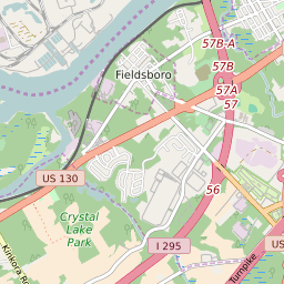


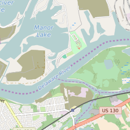

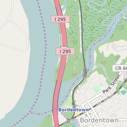


Bordentown New Jersey Profile
| Place Name | Bordentown |
| Place Type | City |
| ZIP Code(s) | 08505 |
| County | Burlington County |
| Area Code(s) | 609,640 |
| Timezone | Eastern Standard Time (EST) |
| Population (2022) | 3,927 |
| Population Growth Rate (2010-19) | 1.76% |
| Majority Ethnicity | White 78.95% |
| Metro/Micro Stats Area | Philadelphia-Camden-Wilmington, PA-NJ-DE-MD |
| US Congressional District(s) | New Jersey 3rd |
| State Assembly Districts | 7 |
| State Senate Districts | 7 |
Bordentown Race/Ethnicity Data
| Race/Ethnicy | Percentage of Population (2021) |
|---|---|
| White | 78.95% |
| African American | 10.35% |
| Hispanic | 0% |
| Asian | 2.88% |
| Native American | 0% |
| Hawaiin/Pacific Islander | 7.82% |