


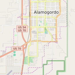


Alamogordo New Mexico Profile
| Place Name | Alamogordo |
| Place Type | City |
| ZIP Code(s) | 88310 |
| County | Otero County |
| Area Code(s) | 575 |
| Timezone | Mountain Daylight Time (MDT) |
| Population (2022) | 30,544 |
| Population Growth Rate (2010-19) | 1.63% |
| Majority Ethnicity | White 64.69% |
| Metro/Micro Stats Area | Alamogordo, NM |
| US Congressional District(s) | New Mexico 2nd |
| State House Districts | 51,54,56 |
| State Senate Districts | 33,34 |
Alamogordo Race/Ethnicity Data
| Race/Ethnicy | Percentage of Population (2021) |
|---|---|
| White | 64.69% |
| African American | 3.85% |
| Hispanic | 1.33% |
| Asian | 1.54% |
| Native American | 0% |
| Hawaiin/Pacific Islander | 28.59% |