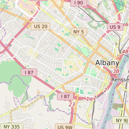
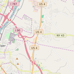

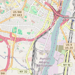
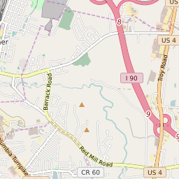
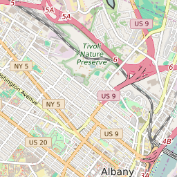


Rensselaer New York Profile
| Place Name | Rensselaer |
| Place Type | City |
| ZIP Code(s) | 12144 |
| County | Rensselaer County |
| Area Code(s) | 518,838 |
| Timezone | Eastern Standard Time (EST) |
| Population (2022) | 9,378 |
| Population Growth Rate (2010-19) | -1.94% |
| Majority Ethnicity | White 80.16% |
| Metro/Micro Stats Area | Albany-Schenectady-Troy, NY |
| US Congressional District(s) | New York 20th |
| State Assembly Districts | 108 |
| State Senate Districts | 44 |
Rensselaer Race/Ethnicity Data
| Race/Ethnicy | Percentage of Population (2021) |
|---|---|
| White | 80.16% |
| African American | 5.26% |
| Hispanic | 0.26% |
| Asian | 6.97% |
| Native American | 0% |
| Hawaiin/Pacific Islander | 7.35% |