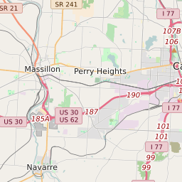
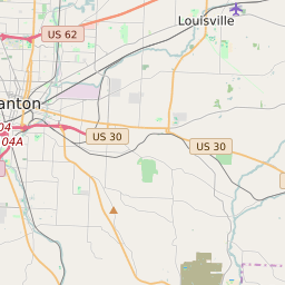
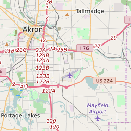
Canton Ohio Profile
| Place Name | Canton |
| Place Type | City |
| County | Stark County |
| Area Code(s) | 234,330 |
| Timezone | Eastern Daylight Time (EDT) |
| Population (2022) | 73,318 |
| Population Growth Rate (2010-19) | -2.92% |
| Majority Ethnicity | White 68.72% |
| Metro/Micro Stats Area | Canton-Massillon, OH |
| US Congressional District(s) | Ohio 7th |
| State House Districts | 49 |
| State Senate Districts | 29 |
Canton Race/Ethnicity Data
| Race/Ethnicy | Percentage of Population (2021) |
|---|---|
| White | 68.72% |
| African American | 25.72% |
| Hispanic | 0.03% |
| Asian | 0.49% |
| Native American | 0.01% |
| Hawaiin/Pacific Islander | 5.03% |