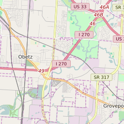

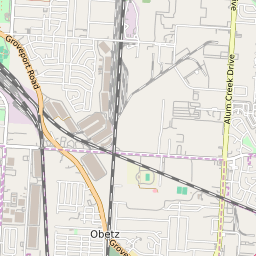
Groveport Ohio Profile
| Place Name | Groveport |
| Place Type | City |
| ZIP Code(s) | 43125 |
| County | Franklin County |
| Area Code(s) | 380,614 |
| Timezone | Eastern Standard Time (EST) |
| Population (2022) | 5,330 |
| Population Growth Rate (2010-19) | 12.05% |
| Majority Ethnicity | White 61.76% |
| Metro/Micro Stats Area | Columbus, OH |
| US Congressional District(s) | Ohio 3rd Ohio 15th |
| State House Districts | 20 |
| State Senate Districts | 3 |
Groveport Race/Ethnicity Data
| Race/Ethnicy | Percentage of Population (2021) |
|---|---|
| White | 61.76% |
| African American | 27.64% |
| Hispanic | 0% |
| Asian | 2.88% |
| Native American | 0% |
| Hawaiin/Pacific Islander | 7.72% |