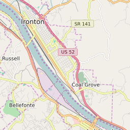
Ironton Ohio Profile
| Place Name | Ironton |
| Place Type | City |
| ZIP Code(s) | 45638 |
| County | Lawrence County |
| Area Code(s) | 220,740 |
| Timezone | Eastern Standard Time (EST) |
| Population (2022) | 10,995 |
| Population Growth Rate (2010-19) | -5.01% |
| Majority Ethnicity | White 96.21% |
| Metro/Micro Stats Area | Huntington-Ashland, WV-KY-OH |
| US Congressional District(s) | Ohio 6th |
| State House Districts | 90 |
| State Senate Districts | 14 |
Ironton Race/Ethnicity Data
| Race/Ethnicy | Percentage of Population (2021) |
|---|---|
| White | 96.21% |
| African American | 2.32% |
| Hispanic | 0% |
| Asian | 0.23% |
| Native American | 0% |
| Hawaiin/Pacific Islander | 1.24% |