

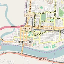


Portsmouth Ohio Profile
| Place Name | Portsmouth |
| Place Type | City |
| ZIP Code(s) | 45662 |
| County | Scioto County |
| Area Code(s) | 220,740 |
| Timezone | Eastern Daylight Time (EDT) |
| Population (2022) | 20,300 |
| Population Growth Rate (2010-19) | -9.76% |
| Majority Ethnicity | White 89.2% |
| Metro/Micro Stats Area | Portsmouth, OH |
| US Congressional District(s) | Ohio 2nd |
| State House Districts | 90 |
| State Senate Districts | 14 |
Portsmouth Race/Ethnicity Data
| Race/Ethnicy | Percentage of Population (2021) |
|---|---|
| White | 89.2% |
| African American | 6.63% |
| Hispanic | 0.08% |
| Asian | 1.22% |
| Native American | 0% |
| Hawaiin/Pacific Islander | 2.88% |