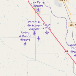


Purcell Oklahoma Profile
| Place Name | Purcell |
| Place Type | City |
| ZIP Code(s) | 73080 |
| County | Mcclain County |
| Area Code(s) | 405 |
| Timezone | Central Daylight Time (CDT) |
| Population (2022) | 5,885 |
| Population Growth Rate (2010-19) | 13.04% |
| Majority Ethnicity | White 77.48% |
| Metro/Micro Stats Area | Oklahoma City, OK |
| US Congressional District(s) | Oklahoma 4th |
| State House Districts | 20,42 |
| State Senate Districts | 43 |
Purcell Race/Ethnicity Data
| Race/Ethnicy | Percentage of Population (2021) |
|---|---|
| White | 77.48% |
| African American | 1.7% |
| Hispanic | 3.03% |
| Asian | 0% |
| Native American | 0.15% |
| Hawaiin/Pacific Islander | 17.63% |