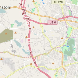
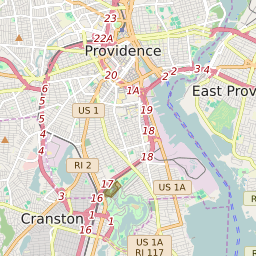

Cranston Rhode Island Profile
| Place Name | Cranston |
| Place Type | City |
| ZIP Code(s) | 02910 02920 02921 |
| County | Providence County |
| Area Code(s) | 401 |
| Timezone | Eastern Daylight Time (EDT) |
| Population (2022) | 80,446 |
| Population Growth Rate (2010-19) | 3.17% |
| Majority Ethnicity | White 71.82% |
| Metro/Micro Stats Area | Providence-Warwick, RI-MA |
| US Congressional District(s) | Rhode Island 2nd |
| State House Districts | 14,15,16,17,18,20,41,42 |
| State Senate Districts | 26,27,28,31 |
Cranston Race/Ethnicity Data
| Race/Ethnicy | Percentage of Population (2021) |
|---|---|
| White | 71.82% |
| African American | 5.46% |
| Hispanic | 0.47% |
| Asian | 6.63% |
| Native American | 0.11% |
| Hawaiin/Pacific Islander | 15.5% |