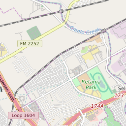

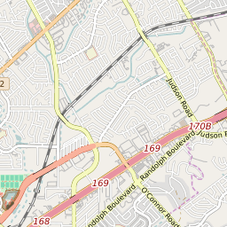


Selma Texas Profile
| Place Name | Selma |
| Place Type | City |
| ZIP Code(s) | 78148 78154 78266 |
| County | Bexar County Guadalupe County |
| Area Code(s) | 210,726 |
| Timezone | Central Daylight Time (CDT) |
| Population (2022) | 5,637 |
| Population Growth Rate (2010-19) | 97.69% |
| Majority Ethnicity | White 43.47% |
| Metro/Micro Stats Area | San Antonio-New Braunfels, TX |
| US Congressional District(s) | Texas 35th Texas 28th |
| State House Districts | 44,118 |
| State Senate Districts | 25 |
Selma Race/Ethnicity Data
| Race/Ethnicy | Percentage of Population (2021) |
|---|---|
| White | 43.47% |
| African American | 22.76% |
| Hispanic | 0.58% |
| Asian | 7.05% |
| Native American | 0% |
| Hawaiin/Pacific Islander | 26.14% |