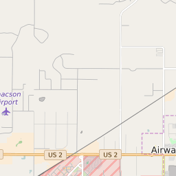
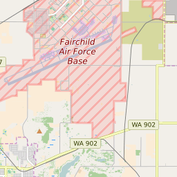


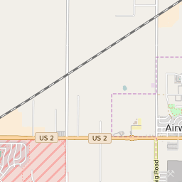

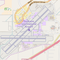
Airway Heights Washington Profile
| Place Name | Airway Heights |
| Place Type | City |
| ZIP Code(s) | 99001 |
| County | Spokane County |
| Area Code(s) | 509 |
| Timezone | Pacific Standard Time (PST) |
| Population (2022) | 6,127 |
| Population Growth Rate (2010-19) | 75.94% |
| Majority Ethnicity | White 68.68% |
| Metro/Micro Stats Area | Spokane-Spokane Valley, WA |
| US Congressional District(s) | Washington 5th |
| State House Districts | 6 |
| State Senate Districts | 6 |
Airway Heights Race/Ethnicity Data
| Race/Ethnicy | Percentage of Population (2021) |
|---|---|
| White | 68.68% |
| African American | 6.68% |
| Hispanic | 4.89% |
| Asian | 5.91% |
| Native American | 3.28% |
| Hawaiin/Pacific Islander | 10.57% |