
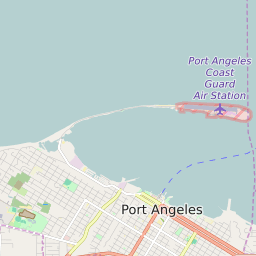


Port Angeles Washington Profile
| Place Name | Port Angeles |
| Place Type | City |
| ZIP Code(s) | 98362 98363 |
| County | Clallam County |
| Area Code(s) | 360 |
| Timezone | Pacific Standard Time (PST) |
| Population (2022) | 19,061 |
| Population Growth Rate (2010-19) | 4.84% |
| Majority Ethnicity | White 86.75% |
| Metro/Micro Stats Area | Port Angeles, WA |
| US Congressional District(s) | Washington 6th |
| State House Districts | 24 |
| State Senate Districts | 24 |
Port Angeles Race/Ethnicity Data
| Race/Ethnicy | Percentage of Population (2021) |
|---|---|
| White | 86.75% |
| African American | 0.71% |
| Hispanic | 2.43% |
| Asian | 1.68% |
| Native American | 0% |
| Hawaiin/Pacific Islander | 8.42% |