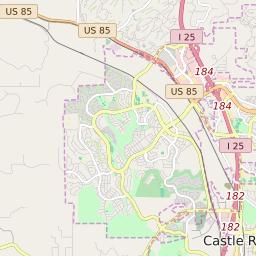


Castle Rock Colorado Profile
| Place Name | Castle Rock |
| Place Type | Town |
| ZIP Code(s) | 80104 80108 80109 |
| County | Douglas County |
| Area Code(s) | 303,720 |
| Timezone | Mountain Daylight Time (MDT) |
| Population (2022) | 48,321 |
| Population Growth Rate (2010-19) | 51.68% |
| Majority Ethnicity | White 86.09% |
| Metro/Micro Stats Area | Denver-Aurora-Lakewood, CO |
| US Congressional District(s) | Colorado 4th |
| State House Districts | 45 |
| State Senate Districts | 4 |
Castle Rock Race/Ethnicity Data
| Race/Ethnicy | Percentage of Population (2021) |
|---|---|
| White | 86.09% |
| African American | 0.67% |
| Hispanic | 0.31% |
| Asian | 2% |
| Native American | 0.15% |
| Hawaiin/Pacific Islander | 10.78% |