
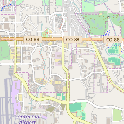

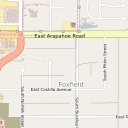


Foxfield Colorado Profile
| Place Name | Foxfield |
| Place Type | Town |
| ZIP Code(s) | 80016 |
| County | Arapahoe County |
| Area Code(s) | 303,720 |
| Timezone | Mountain Daylight Time (MDT) |
| Population (2022) | 782 |
| Population Growth Rate (2010-19) | 10.07% |
| Majority Ethnicity | White 77.85% |
| Metro/Micro Stats Area | Denver-Aurora-Lakewood, CO |
| US Congressional District(s) | Colorado 6th |
| State House Districts | 37,40 |
| State Senate Districts | 26,27 |
Foxfield Race/Ethnicity Data
| Race/Ethnicy | Percentage of Population (2021) |
|---|---|
| White | 77.85% |
| African American | 3.79% |
| Hispanic | 0% |
| Asian | 14.11% |
| Native American | 0% |
| Hawaiin/Pacific Islander | 4.25% |