


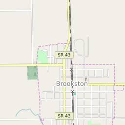

Brookston Indiana Profile
| Place Name | Brookston |
| Place Type | Town |
| ZIP Code(s) | 47923 |
| County | White County |
| Area Code(s) | 765 |
| Timezone | Eastern Daylight Time (EDT) |
| Population (2022) | 1,702 |
| Population Growth Rate (2010-19) | 4.95% |
| Majority Ethnicity | White 95.24% |
| US Congressional District(s) | Indiana 4th |
| State House Districts | 25 |
| State Senate Districts | 7 |
Brookston Race/Ethnicity Data
| Race/Ethnicy | Percentage of Population (2021) |
|---|---|
| White | 95.24% |
| African American | 0% |
| Hispanic | 0% |
| Asian | 0.83% |
| Native American | 0% |
| Hawaiin/Pacific Islander | 3.94% |