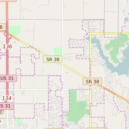
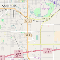
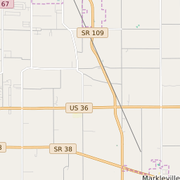
Lapel Indiana Profile
| Place Name | Lapel |
| Place Type | Town |
| ZIP Code(s) | 46051 |
| County | Madison County |
| Area Code(s) | 765 |
| Timezone | Eastern Daylight Time (EDT) |
| Population (2022) | 2,330 |
| Population Growth Rate (2010-19) | 12.43% |
| Majority Ethnicity | White 96.79% |
| Metro/Micro Stats Area | Indianapolis-Carmel-Anderson, IN |
| US Congressional District(s) | Indiana 5th |
| State House Districts | 53 |
| State Senate Districts | 26 |
Lapel Race/Ethnicity Data
| Race/Ethnicy | Percentage of Population (2021) |
|---|---|
| White | 96.79% |
| African American | 0.52% |
| Hispanic | 0% |
| Asian | 0% |
| Native American | 0% |
| Hawaiin/Pacific Islander | 2.7% |