


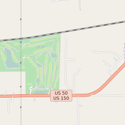
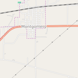


Montgomery Indiana Profile
| Place Name | Montgomery |
| Place Type | Town |
| ZIP Code(s) | 47558 |
| County | Daviess County |
| Area Code(s) | 812,930 |
| Timezone | Eastern Standard Time (EST) |
| Population (2022) | 497 |
| Population Growth Rate (2010-19) | 130.90% |
| Majority Ethnicity | White 98.87% |
| Metro/Micro Stats Area | Washington, IN |
| US Congressional District(s) | Indiana 8th |
| State House Districts | 63 |
| State Senate Districts | 39 |
Montgomery Race/Ethnicity Data
| Race/Ethnicy | Percentage of Population (2021) |
|---|---|
| White | 98.87% |
| African American | 0% |
| Hispanic | 0.85% |
| Asian | 0% |
| Native American | 0% |
| Hawaiin/Pacific Islander | 0.28% |