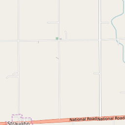
Straughn Indiana Profile
| Place Name | Straughn |
| Place Type | Town |
| ZIP Code(s) | 47387 |
| County | Henry County |
| Area Code(s) | 765 |
| Timezone | Eastern Standard Time (EST) |
| Population (2022) | 253 |
| Population Growth Rate (2010-19) | 16.67% |
| Majority Ethnicity | White 95.97% |
| Metro/Micro Stats Area | New Castle, IN |
| US Congressional District(s) | Indiana 6th |
| State House Districts | 54 |
| State Senate Districts | 42 |
Straughn Race/Ethnicity Data
| Race/Ethnicy | Percentage of Population (2021) |
|---|---|
| White | 95.97% |
| African American | 0% |
| Hispanic | 0% |
| Asian | 0% |
| Native American | 0% |
| Hawaiin/Pacific Islander | 4.03% |