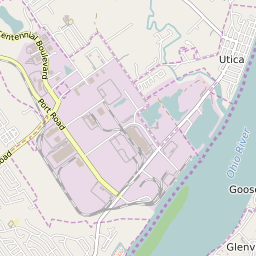


Utica Indiana Profile
| Place Name | Utica |
| Place Type | Town |
| ZIP Code(s) | 40059 40222 47130 |
| County | Clark County |
| Area Code(s) | 812,930 |
| Timezone | Eastern Standard Time (EST) |
| Population (2022) | 1,037 |
| Population Growth Rate (2010-19) | 10.82% |
| Majority Ethnicity | White 74.98% |
| Metro/Micro Stats Area | Louisville/Jefferson County, KY-IN |
| US Congressional District(s) | Indiana 9th |
| State House Districts | 71 |
| State Senate Districts | 45 |
Utica Race/Ethnicity Data
| Race/Ethnicy | Percentage of Population (2021) |
|---|---|
| White | 74.98% |
| African American | 18.6% |
| Hispanic | 0.19% |
| Asian | 0% |
| Native American | 0% |
| Hawaiin/Pacific Islander | 6.23% |