
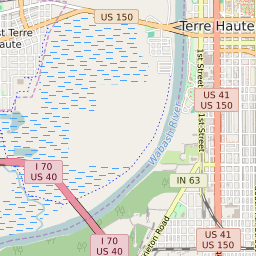


West Terre Haute Indiana Profile
| Place Name | West Terre Haute |
| Place Type | Town |
| ZIP Code(s) | 47885 |
| County | Vigo County |
| Area Code(s) | 812,930 |
| Timezone | Eastern Daylight Time (EDT) |
| Population (2022) | 2,436 |
| Population Growth Rate (2010-19) | -3.53% |
| Majority Ethnicity | White 96.36% |
| Metro/Micro Stats Area | Terre Haute, IN |
| US Congressional District(s) | Indiana 8th |
| State House Districts | 43 |
| State Senate Districts | 38 |
West Terre Haute Race/Ethnicity Data
| Race/Ethnicy | Percentage of Population (2021) |
|---|---|
| White | 96.36% |
| African American | 2.3% |
| Hispanic | 0% |
| Asian | 0% |
| Native American | 0% |
| Hawaiin/Pacific Islander | 1.34% |