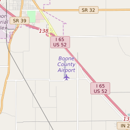
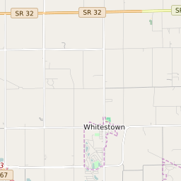
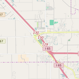
Whitestown Indiana Profile
| Place Name | Whitestown |
| Place Type | Town |
| ZIP Code(s) | 46075 |
| County | Boone County |
| Area Code(s) | 317,463 |
| Timezone | Eastern Standard Time (EST) |
| Population (2022) | 2,945 |
| Population Growth Rate (2010-19) | 255.01% |
| Majority Ethnicity | White 80.7% |
| Metro/Micro Stats Area | Indianapolis-Carmel-Anderson, IN |
| US Congressional District(s) | Indiana 4th Indiana 5th |
| State House Districts | 24,28 |
| State Senate Districts | 23 |
Whitestown Race/Ethnicity Data
| Race/Ethnicy | Percentage of Population (2021) |
|---|---|
| White | 80.7% |
| African American | 6.52% |
| Hispanic | 0% |
| Asian | 9.04% |
| Native American | 0% |
| Hawaiin/Pacific Islander | 3.73% |