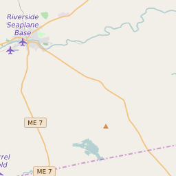


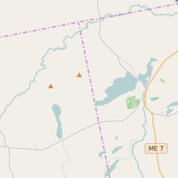


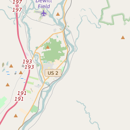
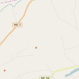
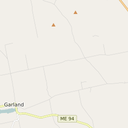
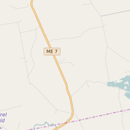
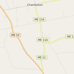
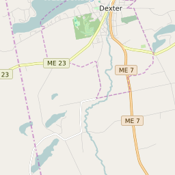
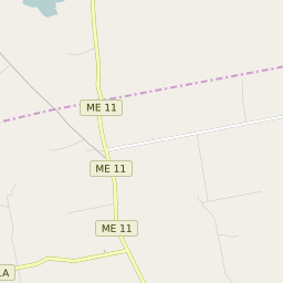
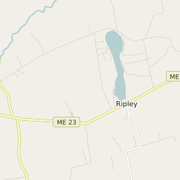

Garland Maine Profile
| Place Name | Garland |
| Place Type | Town |
| ZIP Code(s) | 04939 |
| County | Penobscot County |
| Area Code(s) | 207 |
| Timezone | Eastern Daylight Time (EDT) |
| Population (2021) | 809 |
| Majority Ethnicity | White 97.67% |
| Metro/Micro Stats Area | Bangor, ME |
| US Congressional District(s) | Maine 2nd |
| State House Districts | 104 |
| State Senate Districts | 4 |
Garland Race/Ethnicity Data
| Race/Ethnicy | Percentage of Population (2021) |
|---|---|
| White | 97.67% |
| African American | 0.37% |
| Hispanic | 0% |
| Asian | 0.37% |
| Native American | 0% |
| Hawaiin/Pacific Islander | 1.59% |