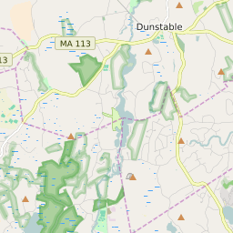


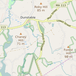
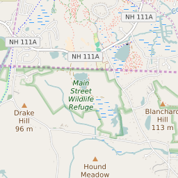

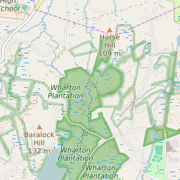
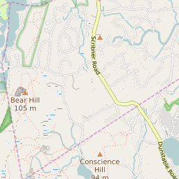
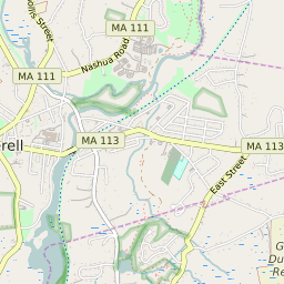


Dunstable Massachusetts Profile
| Place Name | Dunstable |
| Place Type | Town |
| ZIP Code(s) | 01827 |
| County | Middlesex County |
| Area Code(s) | 351,978 |
| Timezone | Eastern Daylight Time (EDT) |
| Population (2021) | 3,369 |
| Majority Ethnicity | White 94.12% |
| Metro/Micro Stats Area | Boston-Cambridge-Newton, MA-NH |
| US Congressional District(s) | Massachusetts 3rd |
| State House Districts | 1st Middlesex |
| State Senate Districts | First Middlesex |
Dunstable Race/Ethnicity Data
| Race/Ethnicy | Percentage of Population (2021) |
|---|---|
| White | 94.12% |
| African American | 0% |
| Hispanic | 0% |
| Asian | 3.79% |
| Native American | 0% |
| Hawaiin/Pacific Islander | 2.09% |