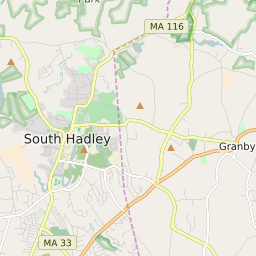

Granby (town) Massachusetts Profile
| Place Name | Granby (town) |
| Place Type | Town |
| ZIP Code(s) | 01002 01007 01033 01056 01075 |
| County | Hampshire County |
| Area Code(s) | 413 |
| Timezone | Eastern Standard Time (EST) |
| Population (2021) | 6,110 |
| Majority Ethnicity | White 95.65% |
| Metro/Micro Stats Area | Springfield, MA |
| US Congressional District(s) | Massachusetts 1st |
| State House Districts | 2nd Hampshire,3rd Hampshire |
| State Senate Districts | First Hampden and Hampshire |
Granby (town) Race/Ethnicity Data
| Race/Ethnicy | Percentage of Population (2021) |
|---|---|
| White | 95.65% |
| African American | 1.05% |
| Hispanic | 0% |
| Asian | 0.5% |
| Native American | 0% |
| Hawaiin/Pacific Islander | 2.79% |