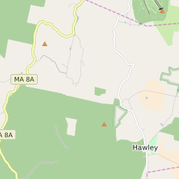


Hawley Massachusetts Profile
| Place Name | Hawley |
| Place Type | Town |
| ZIP Code(s) | 01070 01330 01339 |
| County | Franklin County |
| Area Code(s) | 413 |
| Timezone | Eastern Standard Time (EST) |
| Population (2021) | 379 |
| Majority Ethnicity | White 92.23% |
| Metro/Micro Stats Area | Springfield, MA |
| US Congressional District(s) | Massachusetts 1st |
| State House Districts | 2nd Berkshire |
| State Senate Districts | Berkshire, Hampshire, Franklin and Hampden |
Hawley Race/Ethnicity Data
| Race/Ethnicy | Percentage of Population (2021) |
|---|---|
| White | 92.23% |
| African American | 0% |
| Hispanic | 0% |
| Asian | 3.89% |
| Native American | 0% |
| Hawaiin/Pacific Islander | 3.89% |