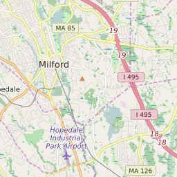

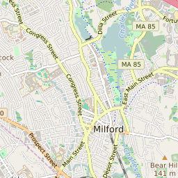


Milford (town) Massachusetts Profile
| Place Name | Milford (town) |
| Place Type | Town |
| ZIP Code(s) | 01568 01747 01757 |
| County | Worcester County |
| Area Code(s) | 508,774 |
| Timezone | Eastern Standard Time (EST) |
| Population (2021) | 30,134 |
| Majority Ethnicity | White 81.83% |
| Metro/Micro Stats Area | Worcester, MA-CT |
| US Congressional District(s) | Massachusetts 4th |
| State House Districts | 10th Worcester |
| State Senate Districts | Worcester and Norfolk |
Milford (town) Race/Ethnicity Data
| Race/Ethnicy | Percentage of Population (2021) |
|---|---|
| White | 81.83% |
| African American | 3.68% |
| Hispanic | 0.15% |
| Asian | 2.43% |
| Native American | 0% |
| Hawaiin/Pacific Islander | 11.91% |