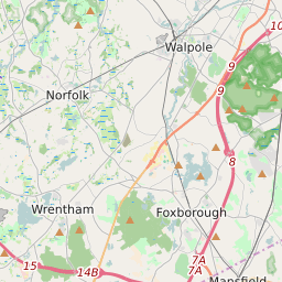
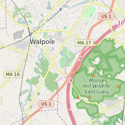

Walpole (town) Massachusetts Profile
| Place Name | Walpole (town) |
| Place Type | Town |
| County | Norfolk County |
| Area Code(s) | 508,774 |
| Timezone | Eastern Daylight Time (EDT) |
| Population (2021) | 26,413 |
| Majority Ethnicity | White 88.35% |
| Metro/Micro Stats Area | Boston-Cambridge-Newton, MA-NH |
| US Congressional District(s) | Massachusetts 8th |
| State House Districts | 8th Norfolk,9th Norfolk,11th Norfolk,12th Norfolk |
| State Senate Districts | Bristol and Norfolk |
Walpole (town) Race/Ethnicity Data
| Race/Ethnicy | Percentage of Population (2021) |
|---|---|
| White | 88.35% |
| African American | 2.73% |
| Hispanic | 0.27% |
| Asian | 3.89% |
| Native American | 0% |
| Hawaiin/Pacific Islander | 4.77% |