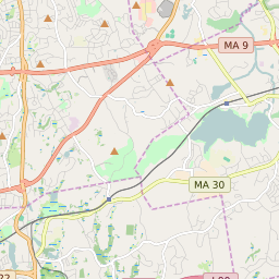
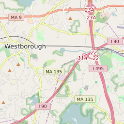
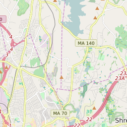
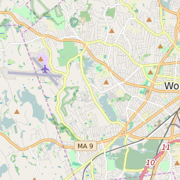
Westborough (town) Massachusetts Boundary Map
Westborough (town) Massachusetts Profile
| Place Name | Westborough (town) |
| Place Type | Town |
| County | Worcester County |
| Area Code(s) | 508,774 |
| Timezone | Eastern Daylight Time (EDT) |
| Population (2021) | 21,213 |
| Majority Ethnicity | White 63.34% |
| Metro/Micro Stats Area | Worcester, MA-CT |
| US Congressional District(s) | Massachusetts 2nd |
| State House Districts | 4th Middlesex,8th Middlesex,11th Worcester |
| State Senate Districts | Middlesex and Worcester |
Westborough (town) Race/Ethnicity Data
| Race/Ethnicy | Percentage of Population (2021) |
|---|---|
| White | 63.34% |
| African American | 3.53% |
| Hispanic | 0.49% |
| Asian | 25.57% |
| Native American | 0% |
| Hawaiin/Pacific Islander | 7.08% |