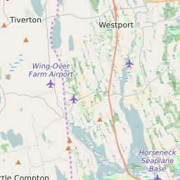


Westport Massachusetts Profile
| Place Name | Westport |
| Place Type | Town |
| ZIP Code(s) | 02790 |
| County | Bristol County |
| Area Code(s) | 508,774 |
| Timezone | Eastern Standard Time (EST) |
| Population (2021) | 16,245 |
| Majority Ethnicity | White 98.27% |
| Metro/Micro Stats Area | Providence-Warwick, RI-MA |
| US Congressional District(s) | Massachusetts 9th |
| State House Districts | 8th Bristol |
| State Senate Districts | First Bristol and Plymouth |
Westport Race/Ethnicity Data
| Race/Ethnicy | Percentage of Population (2021) |
|---|---|
| White | 98.27% |
| African American | 0.05% |
| Hispanic | 0% |
| Asian | 0.18% |
| Native American | 0% |
| Hawaiin/Pacific Islander | 1.5% |