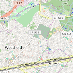
Westfield New Jersey Profile
| Place Name | Westfield |
| Place Type | Town |
| ZIP Code(s) | 07090 |
| County | Union County |
| Area Code(s) | 908 |
| Timezone | Eastern Standard Time (EST) |
| Population (2022) | 30,296 |
| Population Growth Rate (2010-19) | 2.36% |
| Majority Ethnicity | White 80.25% |
| Metro/Micro Stats Area | New York-Newark-Jersey City, NY-NJ-PA |
| US Congressional District(s) | New Jersey 7th |
| State Assembly Districts | 21 |
| State Senate Districts | 21 |
Westfield Race/Ethnicity Data
| Race/Ethnicy | Percentage of Population (2021) |
|---|---|
| White | 80.25% |
| African American | 3.13% |
| Hispanic | 0.13% |
| Asian | 7.53% |
| Native American | 0% |
| Hawaiin/Pacific Islander | 8.97% |