


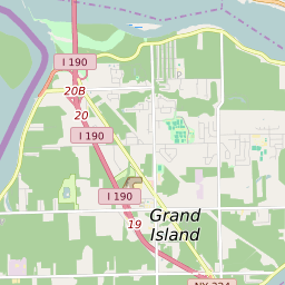
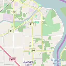
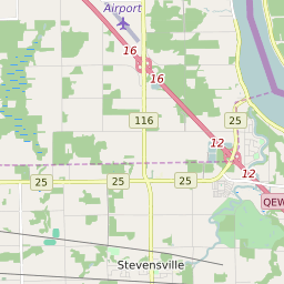
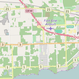
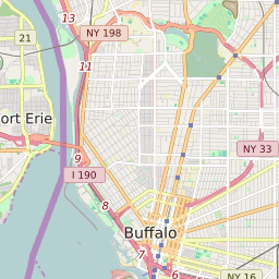


Grand Island New York Profile
| Place Name | Grand Island |
| Place Type | Town |
| ZIP Code(s) | 14072 |
| County | Erie County |
| Area Code(s) | 716 |
| Timezone | Eastern Daylight Time (EDT) |
| Population (2021) | 21,340 |
| Majority Ethnicity | White 92.63% |
| Metro/Micro Stats Area | Buffalo-Cheektowaga, NY |
| US Congressional District(s) | New York 26th |
| State Assembly Districts | 145 |
| State Senate Districts | 60 |
Grand Island Race/Ethnicity Data
| Race/Ethnicy | Percentage of Population (2021) |
|---|---|
| White | 92.63% |
| African American | 2.23% |
| Hispanic | 0.06% |
| Asian | 2.07% |
| Native American | 0% |
| Hawaiin/Pacific Islander | 3.01% |