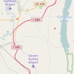


Groveland New York Profile
| Place Name | Groveland |
| Place Type | Town |
| ZIP Code(s) | 14462 |
| County | Livingston County |
| Area Code(s) | 585 |
| Timezone | Eastern Standard Time (EST) |
| Population (2021) | 3,249 |
| Majority Ethnicity | White 65.59% |
| Metro/Micro Stats Area | Rochester, NY |
| US Congressional District(s) | New York 27th |
| State Assembly Districts | 133 |
| State Senate Districts | 59 |
Groveland Race/Ethnicity Data
| Race/Ethnicy | Percentage of Population (2021) |
|---|---|
| White | 65.59% |
| African American | 22.97% |
| Hispanic | 0.59% |
| Asian | 0.24% |
| Native American | 0% |
| Hawaiin/Pacific Islander | 10.61% |