
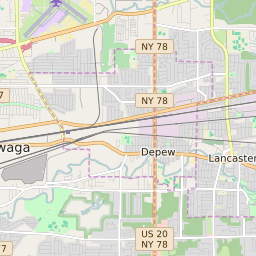

Lancaster (town) New York Profile
| Place Name | Lancaster (town) |
| Place Type | Town |
| ZIP Code(s) | 14026 14043 14086 14221 |
| County | Erie County |
| Area Code(s) | 716 |
| Timezone | Eastern Daylight Time (EDT) |
| Population (2021) | 44,732 |
| Majority Ethnicity | White 95.68% |
| Metro/Micro Stats Area | Buffalo-Cheektowaga, NY |
| US Congressional District(s) | New York 27th |
| State Assembly Districts | 143 |
| State Senate Districts | 59 |
Lancaster (town) Race/Ethnicity Data
| Race/Ethnicy | Percentage of Population (2021) |
|---|---|
| White | 95.68% |
| African American | 1.84% |
| Hispanic | 0.04% |
| Asian | 0.67% |
| Native American | 0% |
| Hawaiin/Pacific Islander | 1.78% |