

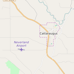


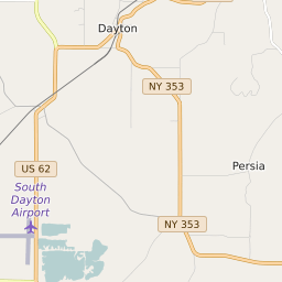


Mansfield New York Profile
| Place Name | Mansfield |
| Place Type | Town |
| ZIP Code(s) | 14719 14729 14731 14755 14779 |
| County | Cattaraugus County |
| Area Code(s) | 716 |
| Timezone | Eastern Daylight Time (EDT) |
| Population (2021) | 758 |
| Majority Ethnicity | White 98.55% |
| Metro/Micro Stats Area | Olean, NY |
| US Congressional District(s) | New York 23rd |
| State Assembly Districts | 148 |
| State Senate Districts | 57 |
Mansfield Race/Ethnicity Data
| Race/Ethnicy | Percentage of Population (2021) |
|---|---|
| White | 98.55% |
| African American | 0% |
| Hispanic | 0% |
| Asian | 0% |
| Native American | 0% |
| Hawaiin/Pacific Islander | 1.45% |