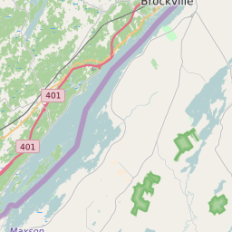
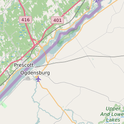


Morristown (town) New York Profile
| Place Name | Morristown (town) |
| Place Type | Town |
| ZIP Code(s) | 13614 13646 13654 13664 13669 |
| County | Saint Lawrence County |
| Area Code(s) | 315,680 |
| Timezone | (UTC) |
| Population (2021) | 2,210 |
| Majority Ethnicity | White 96.14% |
| Metro/Micro Stats Area | Ogdensburg-Massena, NY |
| US Congressional District(s) | New York 21st |
| State Assembly Districts | 116 |
| State Senate Districts | 48 |
Morristown (town) Race/Ethnicity Data
| Race/Ethnicy | Percentage of Population (2021) |
|---|---|
| White | 96.14% |
| African American | 1.19% |
| Hispanic | 0.05% |
| Asian | 0.51% |
| Native American | 0% |
| Hawaiin/Pacific Islander | 2.11% |