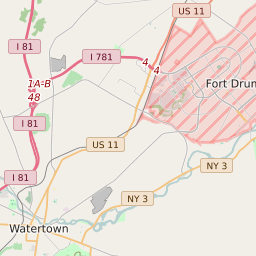
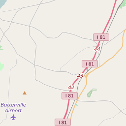
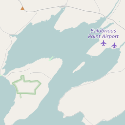
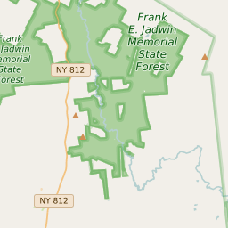
Rutland New York Profile
| Place Name | Rutland |
| Place Type | Town |
| County | Jefferson County |
| Area Code(s) | 315,680 |
| Timezone | Eastern Daylight Time (EDT) |
| Population (2021) | 3,082 |
| Majority Ethnicity | White 91.85% |
| Metro/Micro Stats Area | Watertown-Fort Drum, NY |
| US Congressional District(s) | New York 21st |
| State Assembly Districts | 117 |
| State Senate Districts | 48 |
Rutland Race/Ethnicity Data
| Race/Ethnicy | Percentage of Population (2021) |
|---|---|
| White | 91.85% |
| African American | 0% |
| Hispanic | 0% |
| Asian | 3.39% |
| Native American | 0% |
| Hawaiin/Pacific Islander | 4.76% |