

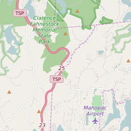
Southeast New York Profile
| Place Name | Southeast |
| Place Type | Town |
| ZIP Code(s) | 10509 10512 10560 |
| County | Putnam County |
| Area Code(s) | 845,914 |
| Timezone | Eastern Standard Time (EST) |
| Population (2021) | 18,106 |
| Majority Ethnicity | White 70.3% |
| Metro/Micro Stats Area | New York-Newark-Jersey City, NY-NJ-PA |
| US Congressional District(s) | New York 18th |
| State Assembly Districts | 94 |
| State Senate Districts | 40 |
Southeast Race/Ethnicity Data
| Race/Ethnicy | Percentage of Population (2021) |
|---|---|
| White | 70.3% |
| African American | 1.99% |
| Hispanic | 0.06% |
| Asian | 3.34% |
| Native American | 0% |
| Hawaiin/Pacific Islander | 24.31% |