
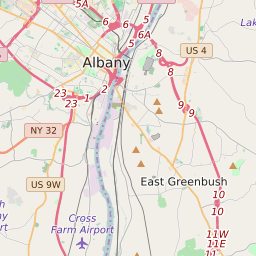
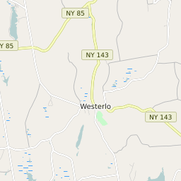


Westerlo New York Profile
| Place Name | Westerlo |
| Place Type | Town |
| ZIP Code(s) | 12193 |
| County | Albany County |
| Area Code(s) | 518,838 |
| Timezone | Eastern Daylight Time (EDT) |
| Population (2021) | 3,213 |
| Majority Ethnicity | White 98.41% |
| Metro/Micro Stats Area | Albany-Schenectady-Troy, NY |
| US Congressional District(s) | New York 20th |
| State Assembly Districts | 102 |
| State Senate Districts | 46 |
Westerlo Race/Ethnicity Data
| Race/Ethnicy | Percentage of Population (2021) |
|---|---|
| White | 98.41% |
| African American | 0.79% |
| Hispanic | 0% |
| Asian | 0.25% |
| Native American | 0% |
| Hawaiin/Pacific Islander | 0.54% |