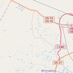
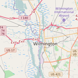
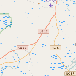
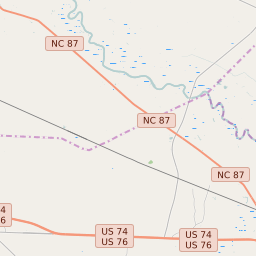


Leland North Carolina Profile
| Place Name | Leland |
| Place Type | Town |
| ZIP Code(s) | 28451 |
| County | Brunswick County |
| Area Code(s) | 910 |
| Timezone | Eastern Daylight Time (EDT) |
| Population (2022) | 13,732 |
| Population Growth Rate (2010-19) | 69.35% |
| Majority Ethnicity | White 84.39% |
| Metro/Micro Stats Area | Myrtle Beach-Conway-North Myrtle Beach, SC-NC |
| US Congressional District(s) | North Carolina 7th |
| State House Districts | 17,18 |
| State Senate Districts | 8 |
Leland Race/Ethnicity Data
| Race/Ethnicy | Percentage of Population (2021) |
|---|---|
| White | 84.39% |
| African American | 10.18% |
| Hispanic | 0.33% |
| Asian | 0.66% |
| Native American | 0% |
| Hawaiin/Pacific Islander | 4.43% |