
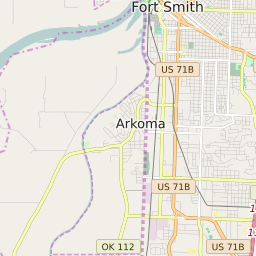
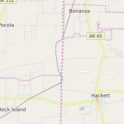
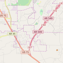
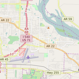
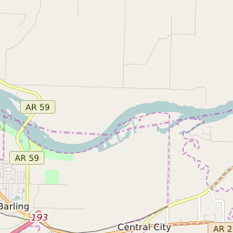
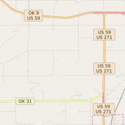
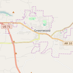
Pocola Oklahoma Profile
| Place Name | Pocola |
| Place Type | Town |
| ZIP Code(s) | 74902 |
| County | Le Flore County |
| Area Code(s) | 539,918 |
| Timezone | Central Standard Time (CST) |
| Population (2022) | 4,030 |
| Population Growth Rate (2010-19) | 4.91% |
| Majority Ethnicity | White 80.47% |
| US Congressional District(s) | Oklahoma 2nd |
| State House Districts | 3 |
| State Senate Districts | 4 |
Pocola Race/Ethnicity Data
| Race/Ethnicy | Percentage of Population (2021) |
|---|---|
| White | 80.47% |
| African American | 2.84% |
| Hispanic | 12.33% |
| Asian | 0.78% |
| Native American | 0% |
| Hawaiin/Pacific Islander | 3.58% |