


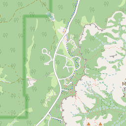


Cannonville Utah Profile
| Place Name | Cannonville |
| Place Type | Town |
| ZIP Code(s) | 84718 |
| County | Garfield County |
| Area Code(s) | 435 |
| Timezone | Mountain Standard Time (MST) |
| Population (2022) | 178 |
| Population Growth Rate (2010-19) | 11.38% |
| Majority Ethnicity | White 77.27% |
| US Congressional District(s) | Utah 2nd |
| State House Districts | 73 |
| State Senate Districts | 24 |
Cannonville Race/Ethnicity Data
| Race/Ethnicy | Percentage of Population (2021) |
|---|---|
| White | 77.27% |
| African American | 0% |
| Hispanic | 22.73% |
| Asian | 0% |
| Native American | 0% |
| Hawaiin/Pacific Islander | 0% |