


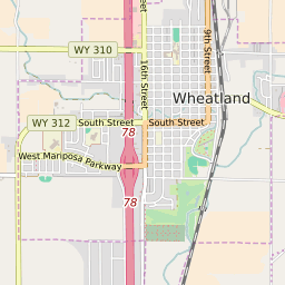

Wheatland Wyoming Profile
| Place Name | Wheatland |
| Place Type | Town |
| ZIP Code(s) | 82201 |
| County | Platte County |
| Area Code(s) | 307 |
| Timezone | Mountain Standard Time (MST) |
| Population (2022) | 3,620 |
| Population Growth Rate (2010-19) | -1.08% |
| Majority Ethnicity | White 81.13% |
| US Congressional District(s) | Wyoming At-Large |
| State House Districts | 4 |
| State Senate Districts | 2 |
Wheatland Race/Ethnicity Data
| Race/Ethnicy | Percentage of Population (2021) |
|---|---|
| White | 81.13% |
| African American | 0.08% |
| Hispanic | 0.24% |
| Asian | 1.63% |
| Native American | 0% |
| Hawaiin/Pacific Islander | 16.92% |