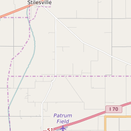
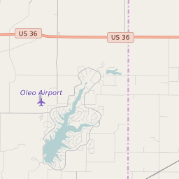
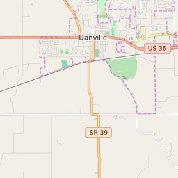
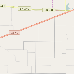
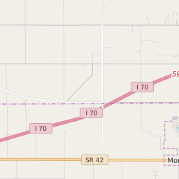
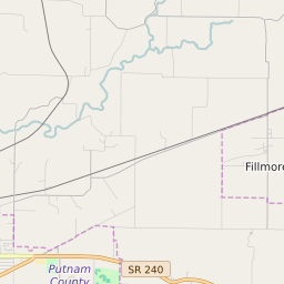
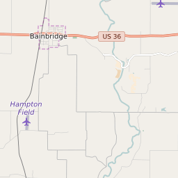
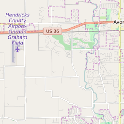
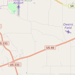
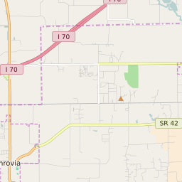
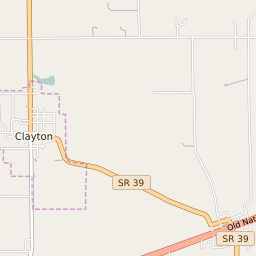
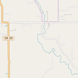
Clay Township (Hendricks County) Indiana Boundary Map
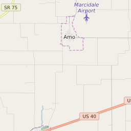
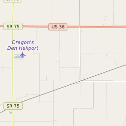
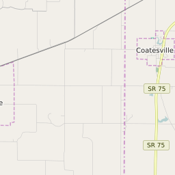
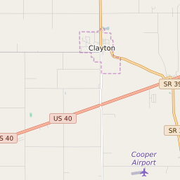


Clay Township (Hendricks County) Indiana Profile
| Place Name | Clay Township (Hendricks County) |
| Place Type | Township |
| ZIP Code(s) | 46103 46118 46121 46122 |
| County | Hendricks County |
| Area Code(s) | 317,463,765 |
| Timezone | Eastern Daylight Time (EDT) |
| Population (2021) | 2,191 |
| Majority Ethnicity | White 97.98% |
| Metro/Micro Stats Area | Indianapolis-Carmel-Anderson, IN |
| US Congressional District(s) | Indiana 4th |
| State House Districts | 28 |
| State Senate Districts | 24 |
Clay Township (Hendricks County) Race/Ethnicity Data
| Race/Ethnicy | Percentage of Population (2021) |
|---|---|
| White | 97.98% |
| African American | 0.05% |
| Hispanic | 0.09% |
| Asian | 0.6% |
| Native American | 0% |
| Hawaiin/Pacific Islander | 1.29% |