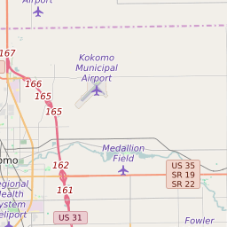
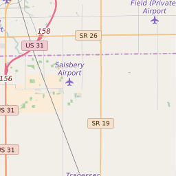
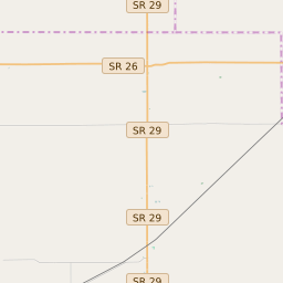
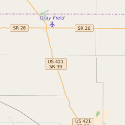
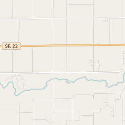
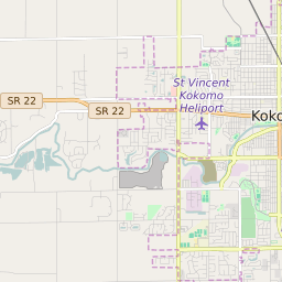
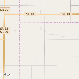
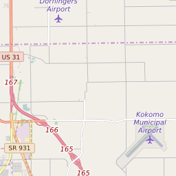
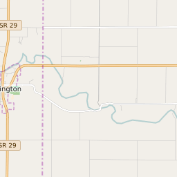
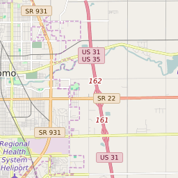
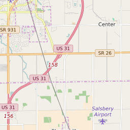
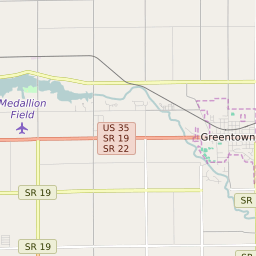
Clay Township (Howard County) Indiana Boundary Map


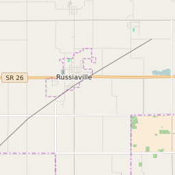


Clay Township (Howard County) Indiana Profile
| Place Name | Clay Township (Howard County) |
| Place Type | Township |
| ZIP Code(s) | 46901 |
| County | Howard County |
| Area Code(s) | 765 |
| Timezone | Eastern Standard Time (EST) |
| Population (2021) | 4,010 |
| Majority Ethnicity | White 97.74% |
| Metro/Micro Stats Area | Kokomo, IN |
| US Congressional District(s) | Indiana 4th |
| State House Districts | 38 |
| State Senate Districts | 21 |
Clay Township (Howard County) Race/Ethnicity Data
| Race/Ethnicy | Percentage of Population (2021) |
|---|---|
| White | 97.74% |
| African American | 1.55% |
| Hispanic | 0.13% |
| Asian | 0% |
| Native American | 0% |
| Hawaiin/Pacific Islander | 0.58% |