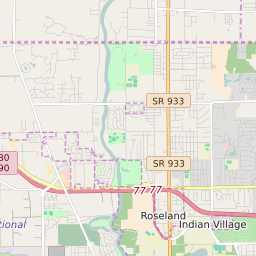
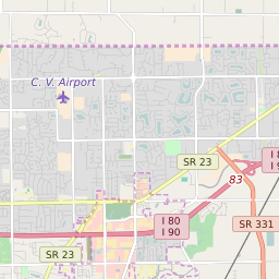
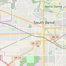
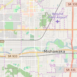
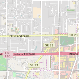
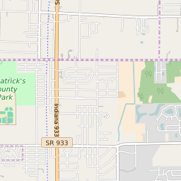
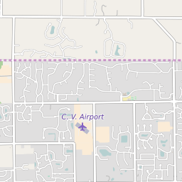
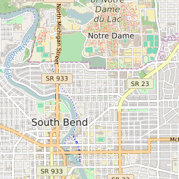
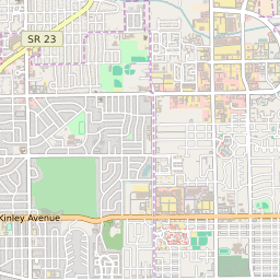
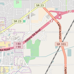
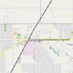
Clay Township (Saint Joseph County) Indiana Boundary Map


Clay Township (Saint Joseph County) Indiana Profile
| Place Name | Clay Township (Saint Joseph County) |
| Place Type | Township |
| County | Saint Joseph County |
| Area Code(s) | 574 |
| Timezone | (UTC) |
| Population (2021) | 34,017 |
| Majority Ethnicity | White 81.07% |
| Metro/Micro Stats Area | South Bend-Mishawaka, IN-MI |
| US Congressional District(s) | Indiana 2nd |
| State House Districts | 5,8 |
| State Senate Districts | 10,11 |
Clay Township (Saint Joseph County) Race/Ethnicity Data
| Race/Ethnicy | Percentage of Population (2021) |
|---|---|
| White | 81.07% |
| African American | 10.69% |
| Hispanic | 0.27% |
| Asian | 3.76% |
| Native American | 0% |
| Hawaiin/Pacific Islander | 4.21% |